


Mission
- Planning and coordination of the production of large scale map and map information.
- To determine large scale map poduction standards.
- To monitor the map production’s compatibality of the standards,
- Geodetic Infrastructure
- Aerial Image Acquisition,
- Photogrammetric Map Production
- Keeping the map and map Informations, and provide these data to the relevant people for a fee.
- Establish in map production monitoring center and keep its sustainability.
History
Map Department was established as "Land Surveying and Photogrammetry Department Office” with Law No:6206 in 1953
Name of the Department changed as “Land Cadastreand Photogrammetry Directorate Head ship” with Law No:6587 in 1955,
Name of the Department changed as “Land Cadastre and Photogrammetry Department” with Decree No:7/3434 in 1971,
The Department divided into two different Departments as “Titling Department” and “Photogrametry Department” with Law No:5439 in 1976.
Name of the Department changed as “Photogrammetry and Geodesy Department” with Law No:3045 in 1984,
Name of the Department changed as “Map Department” with Law No:6083 in 2011,
SERVİCES
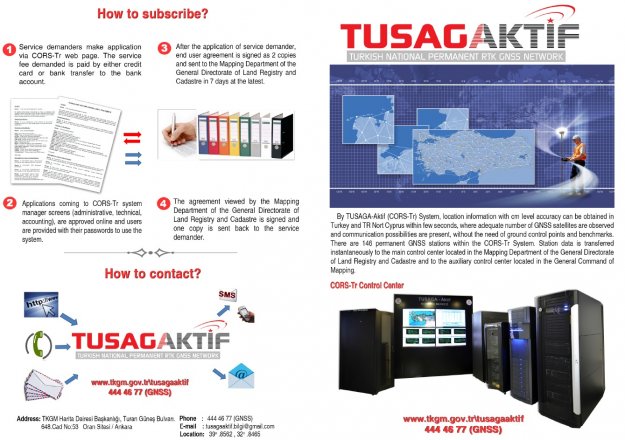
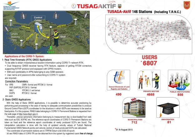
TUSAGA-Aktif
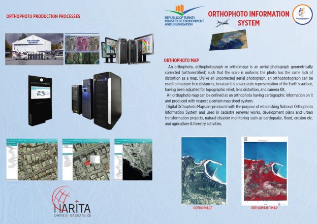
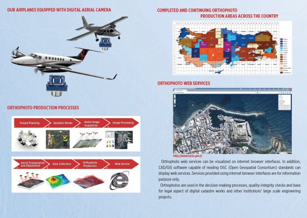
ORTHOPHOTO INFORMATION SYSTEM
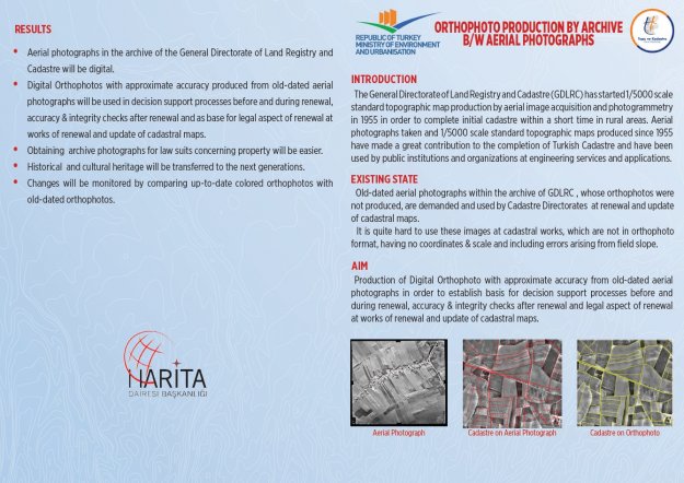
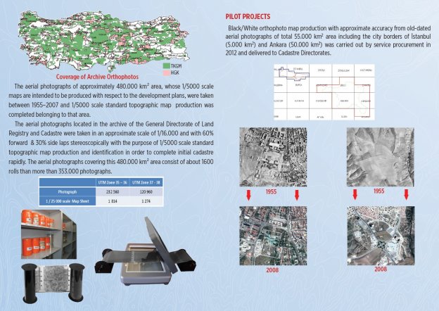
ORTHOPHOTO PRODUCTION BY ARCHIVE B/W AERIAL PHOTOGRAPHS
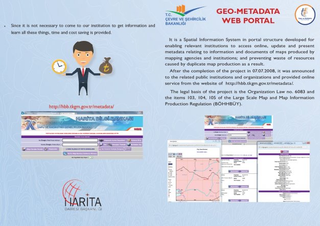
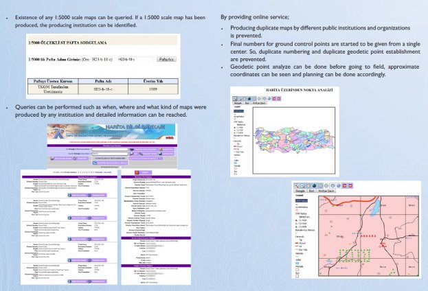
GEO-METADATA WEB PORTAL